The Grub Street Project
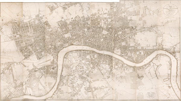
The Grub Street Project: Topographies of 18th-Century London “aims to map the city and its texts to create both a historically accurate visualization of the city’s commerce and communications, and a record of how its authors and artists portrayed it.” So far it’s very much a work in progress, with an improved interface and integrated data still to come, but at least there are a couple of maps on the site, including Richard Horwood’s 1795 map of London (above). Via geoparadigm.

Comments
blog comments powered by Disqus