Maps of Austria-Hungary and Central Europe circa 1910
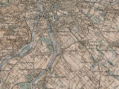 This Hungarian site has a large collection of maps from the Third Military Mapping Survey of Austria-Hungary. The maps, which were published around 1910, are at 1:200,000 scale; they cover much of central and eastern Europe, not just the Austro-Hungarian Empire. There are 267 sheets, each scanned in high resolution and running at around four and a half megabytes per file.

Comments
blog comments powered by Disqus